NOAA's First Images from Next-Gen Geostationary Satellite
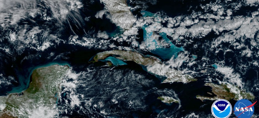
NOAA's GOES-16 satellite captured this image of the Caribbean and Florida. NOAA


 By
Frank Konkel
By
Frank Konkel
GOES-16 enters the testing phase, beaming back images with four times higher resolution than other NOAA satellites.
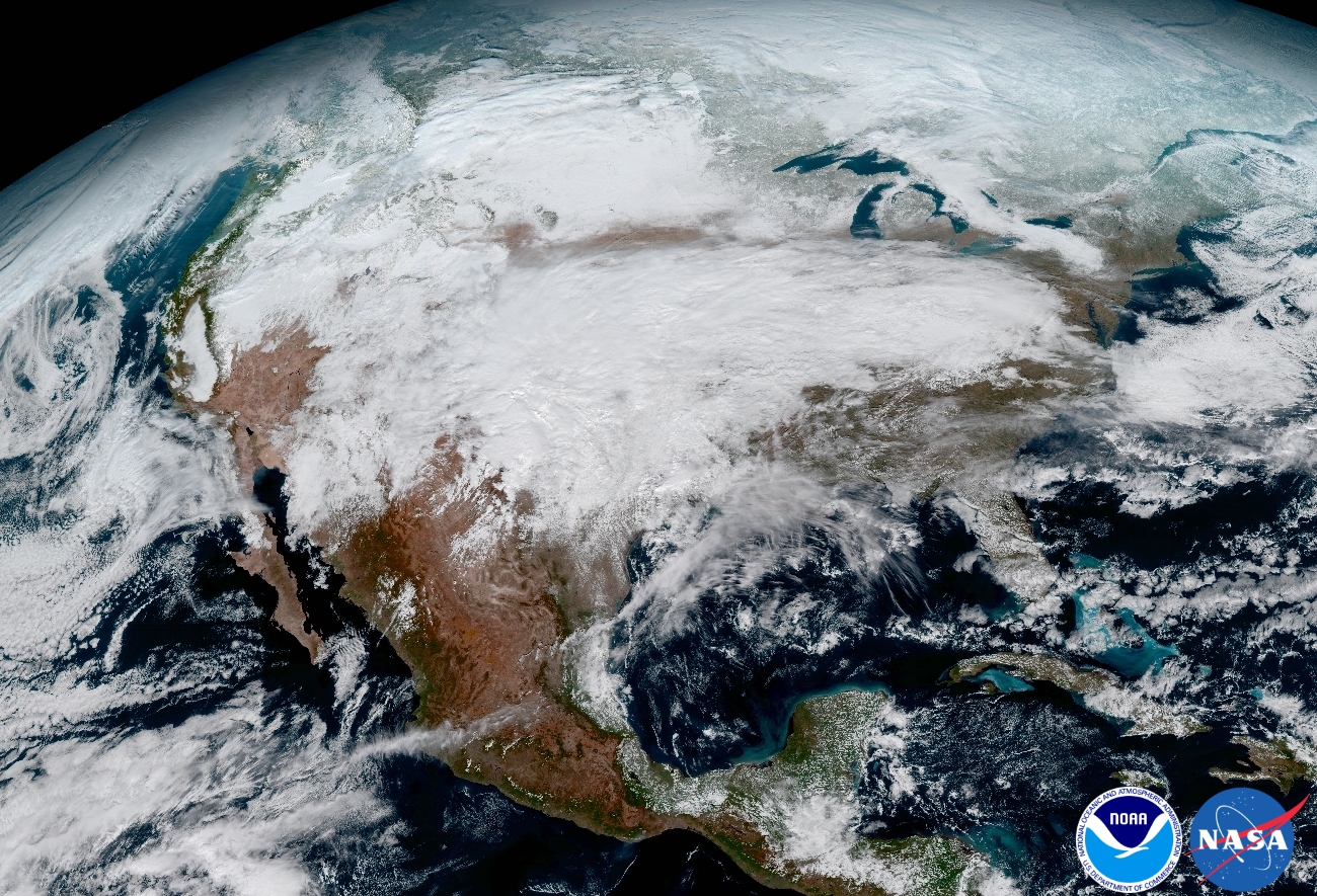
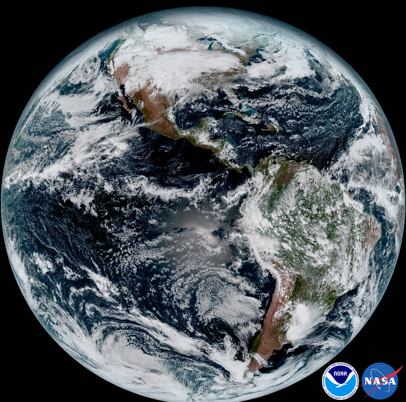
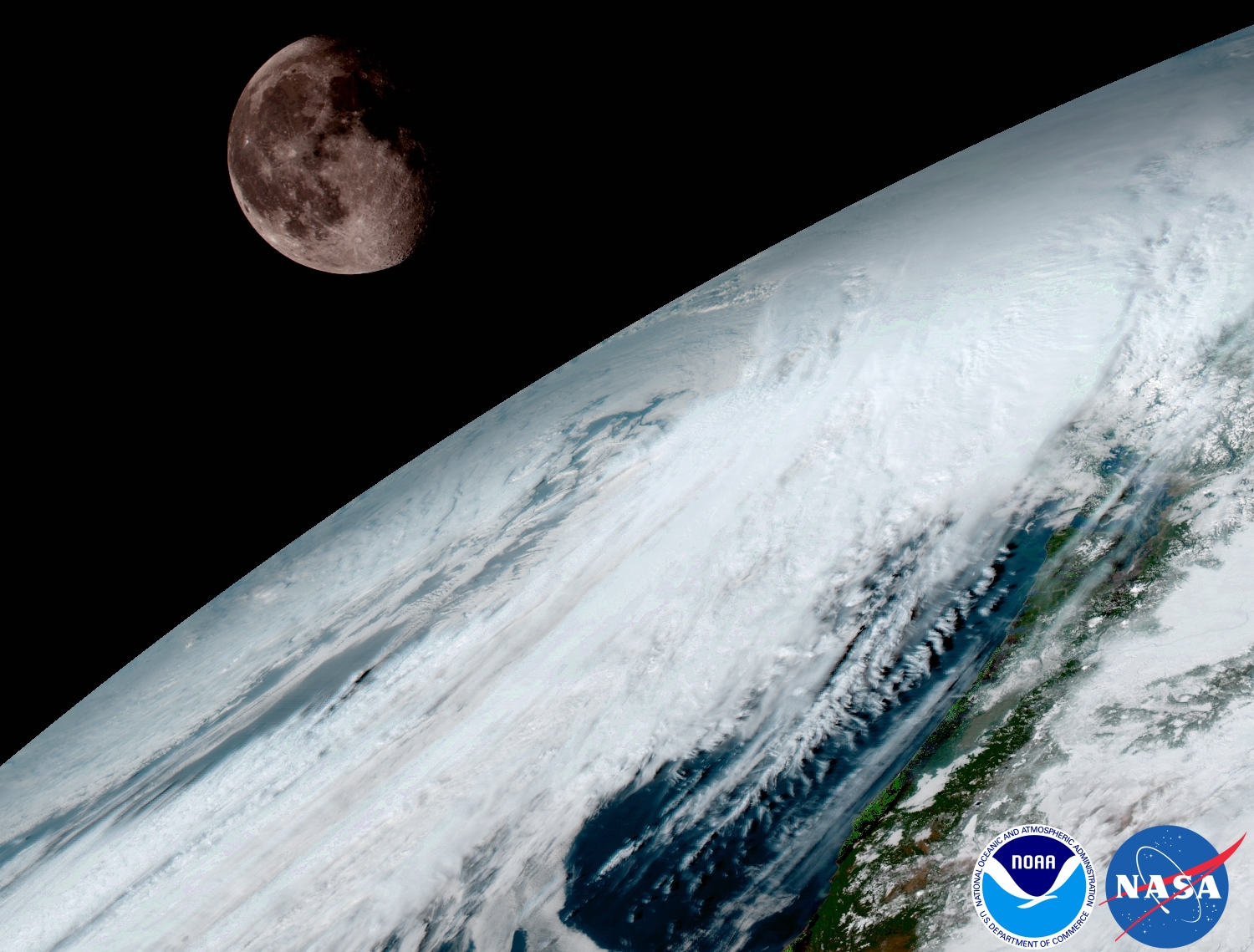
The National Oceanic and Atmospheric Administration released imagery today from the first of its next-generation geostationary satellites, GOES-16, launched back in November.
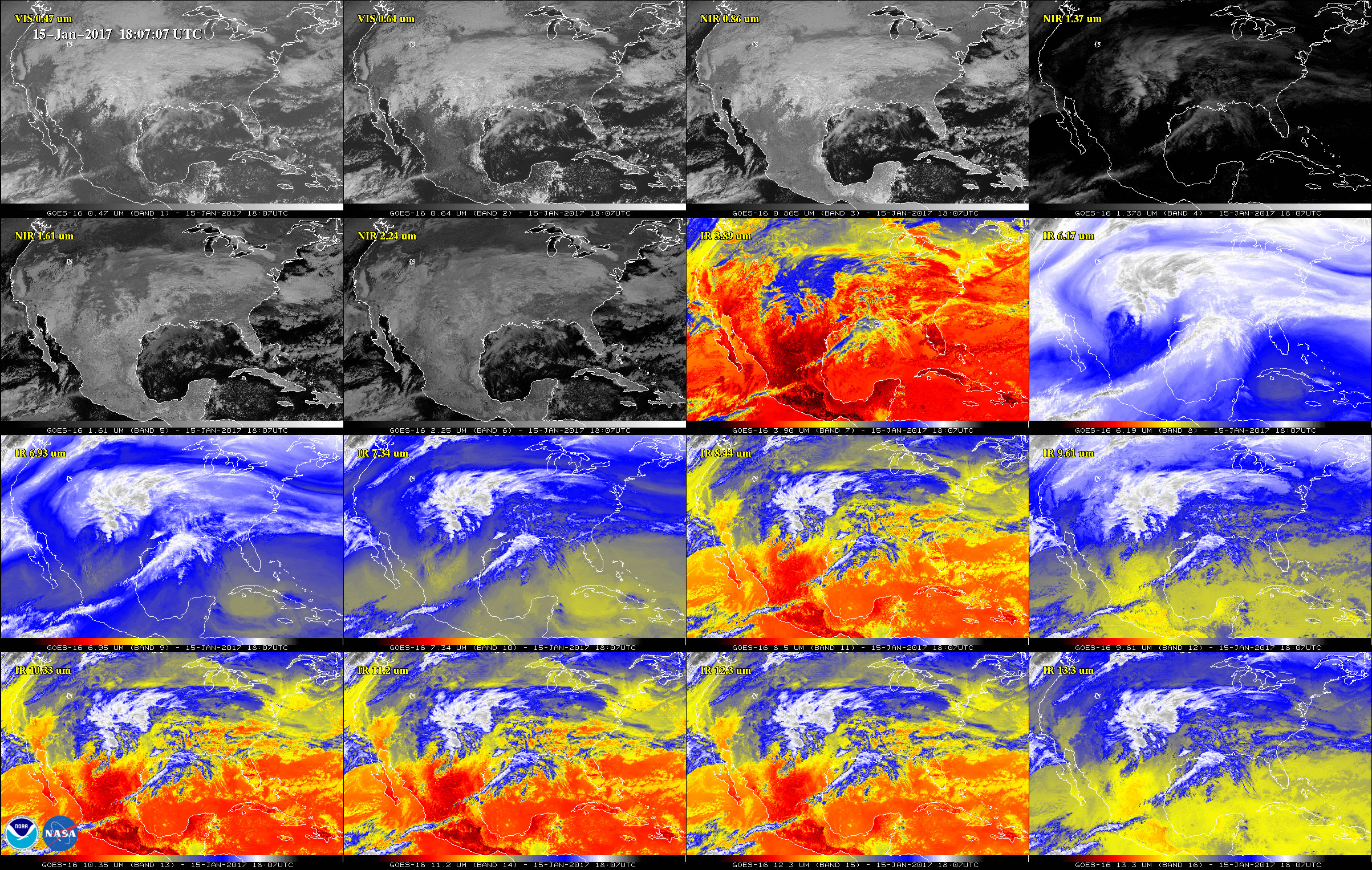
The new images, produced Jan. 15, show Earth at four times the resolution of existing geostationary satellites and offer a glimpse of the satellite’s capabilities.
» Get the best federal technology news and ideas delivered right to your inbox. Sign up here.
A NOAA official told Nextgov the satellite “is still in the test/validation phase” and will not be operational until November.
When it does become operational, it will become a vital cog in the toolkit for weather forecasters, scanning the Earth at five times the speed other satellites do while producing a mountain of data.
In fact, GOES-16 will produce nine terabytes of data per day, or some 100 megabits per second. It also will have the ability to focus in on multiple instances of severe weather simultaneously, including tornados, hurricanes or forest fires.
In other words, it will produce a lot more than the pretty pictures NOAA posted today.
NEXT STORY: DHS watchdog warns agency on ELIS system