Apple Is Using Drones to Make its Maps Better
Alex Brandon/AP


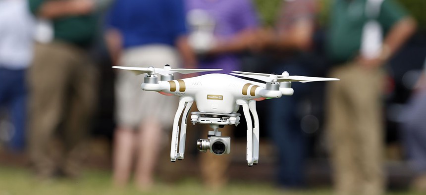
Apple was granted permission to fly drones by the Federal Aviation Administration in March
Apple is taking to the skies.
The company plans to use drones to collect aerial information to improve its Maps app, Bloomberg reported Dec. 1.
Apple was granted permission to fly drones by the Federal Aviation Administration in March, after applying in September 2015. The company’s original application to FAA does not go into much detail about what it specifically intended to with its drones, saying just they would do “aerial data collection, photography and videography,” but that fits within the mapping ambitions Bloomberg reported yesterday.
Apple’s 2015 application says it intends to use 11 different models of drones—some quadcopters, some fixed-wing drones—to capture information. The list includes three models made by the Chinese market leader DJI—a company referred to as the “Apple of drones“, one from Intel’s AscTec and three from French manufacturer Parrot’s commercial subsidiary, senseFly. (Apple sells drones manufactured by DJI and Parrot in its stores, but not of the same mapping caliber.)
There is no indication Apple intends to build its own drones, as other technology giants like Google and Facebook are doing.
Bloomberg points out Apple, like Google, previously used cars filled with sensors to capture information about roadways for its maps. Sources told the publication drones could drastically speed up the time it takes to collect data, as they don’t have to follow the rules of the road.
However, FAA is still working on nailing down rules for letting drones fly over people. For now, that means Apple’s drones will only fly over sparsely populated areas, and must stay below 400 feet.
It’s not clear whether Apple has actually started flying yet, or if it’s already flying in other countries. The company wasn’t immediately available to comment on its activity.
Apple Maps was originally so poorly received that CEO Tim Cook issued an apology in 2012, and may have fired the former head of its mobile operating system division, Scott Forstall, over refusing to apologize for the software’s bugs. In years since, Apple has played catch-up to Google Maps, offering additional functions with every new operating system release, and even winning over some critics.
But there are few features Apple Maps offers that Google Maps doesn’t. If Apple can find a novel way to provide information—perhaps by offering virtual flyovers of every city in the U.S.—then, it might be able to win over more users, and into its ecosystem.
Apple is selling fewer iPhones than it has in years. Some believe it might make up for this by locking users more deeply into its world of paid apps, videos and services. Whether drones and maps will help remains to be seen. After all, it could end up being just buzz.