FAA releases long-awaited drone rules


New rules pave the way for increased commercial uses of drones across the country, but also for domestic government uses.
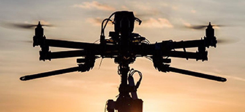
The Federal Aviation Administration went public on June 21 with its first set of rules that set boundaries for the use of small commercial drone systems operating within the national airspace.
Among many other things, the 600-plus pages of new rules mandate that commercial drones up to 55 pounds operate only in the daytime; fly under 400 feet and not within 400 feet of tall buildings and towers; remain within line of sight of their operators or someone in communications with their operator; and be piloted only by operators who've been certified in the past two years and are at least 16 years old.
The rules have been eagerly awaited by companies that want to use the systems for a variety of applications in the national airspace. Some companies, like Amazon, have needled the FAA to move faster on the rules' development. Roughly a year ago, Paul Misener, Amazon's vice president of global public policy, told the Aviation Subcommittee of the Senate Commerce, Science and Transportation Committee that his company had been flight-testing a drone-borne delivery service in multiple locations overseas with "minimal aviation regulatory approval."
Although the FAA has rolled out some registration rules for private operators of small drones in the last year, the new rules announced on June 21 are the first aimed at the safe operation of commercial drones in airspace shared with commercial aircraft. The agency has been granting provisional permission for thousands of commercial drone systems on a case-by-case basis.
In a June 21 statement on the rules, the White House also announced several initiatives that federal agencies will take up in the coming months to illustrate how the aircraft can be used in commercial settings, as well as to develop other associated technologies.
The White House noted a partnership operation between NASA and the FAA in April completed a successful test of the most complex drone traffic management system ever at FAA test sites across the country.
The White House said the FAA and NASA have formed a collaborative Research Transition Team that will help implement large-scale unmanned aircraft system operations in low-altitude airspace. Their work, it said, will focus on research to support the development of Unmanned Aircraft System Traffic Management systems that will give pilots data on separation spacing of their aircraft and integration into the FAA's Air Traffic Management system.
Additionally, the White House said other agencies, such as the Department of the Interior, will also announce new steps to help integrate drones into the airspace and use them in public safety and scientific research applications.
The Department of the Interior, the White House said, already has used unmanned aircraft systems since 2009 to survey wildlife and vegetation, do archeological studies, emergency response and wildfire management. But by 2018, the White House said, Interior will make high-definition remote sensing capabilities for drones available to all nine of its bureaus. Imagery gathered by cameras mounted on low-flying small drone platforms can provide 500 times more resolution than satellites offer, and doesn't cost nearly as much to get. Drones can make routine operations such as invasive plant and animal detection, search and rescue, wildland firefighting, flood management, earthquake forecasting, volcano research, and oil spill response, less costly.
By the spring of 2018, Interior will also finalize protocols to deploy drones to detect, assess, and attack wildfires; position crews; and enhance firefighter safety.
And by 2019, the White House said, the National Oceanic and Atmospheric Administration will finalize operations, training, safety and data management plans for small unmanned aircraft systems to be used in the agency's gathering of rapid response imagery. Those drones will be used to assess storm damage, river flood conditions, marine wildlife and ecosystem environments, and sudden changes to polar sea ice fields, as well as oil and chemical spills impacting coasts, marshlands, and marine areas.